Drone Survey in Kent: The Smart Way to Assess, Market and Understand Property
As technology continues to transform the property industry, drone surveys have become one of the most effective ways to inspect, assess, and showcase residential and commercial properties. Whether you are a homeowner, landlord, estate agent, developer, or business owner, a drone survey in Kent can provide valuable insights that would otherwise be difficult, costly, or potentially unsafe to obtain.
At East Kent Energy Insights, we provide professional drone surveys, aerial photography, floor plans, EPC certificates, and property marketing services across East Kent. Our modern approach helps clients gain a clearer understanding of their property while presenting it in the best possible light.
What Is a Drone Survey?
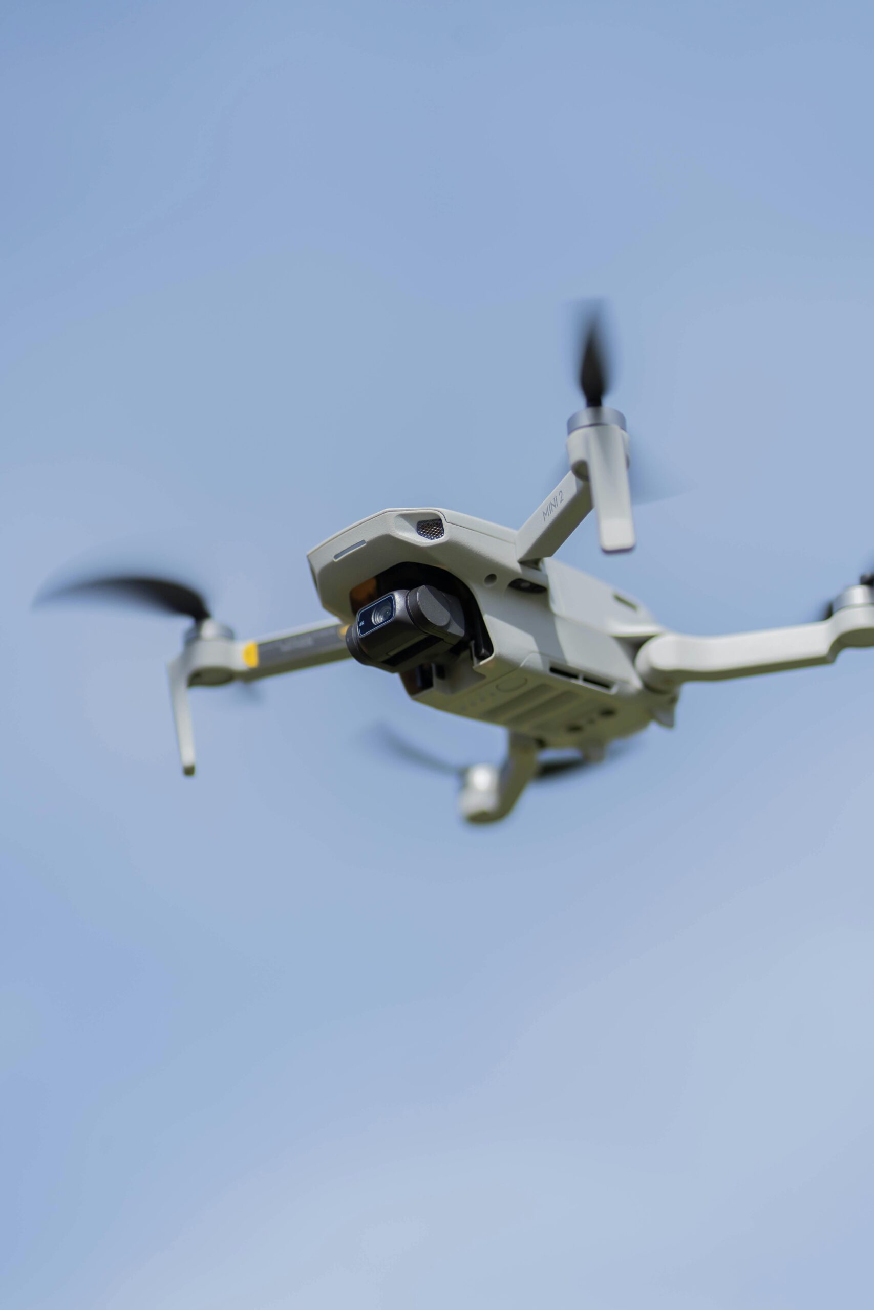
A drone survey involves the use of a remotely piloted aircraft equipped with high-resolution cameras to capture aerial images, videos, and inspection data. Unlike traditional surveying methods that may require scaffolding, ladders, or specialist access equipment, drones can quickly and safely access hard-to-reach areas.
Drone surveys are commonly used to inspect:
- Roofs and chimneys
- Gutters and drainage systems
- Solar panels
- Building exteriors
- Development sites
- Agricultural land
- Commercial premises
- Large residential properties
The resulting imagery provides a detailed overview of the property’s condition, allowing owners and professionals to identify issues early and make informed decisions.
Why Choose a Drone Survey?
Traditional inspections can often be time-consuming, disruptive, and expensive. Drones offer a modern alternative that delivers exceptional results with minimal inconvenience.
Some key benefits include:
Improved Safety
Inspecting roofs, chimneys, and elevated structures can pose significant safety risks. Drone technology eliminates the need for inspectors to work at height, reducing risk while still capturing detailed imagery.
Cost-Effective Inspections
Hiring access equipment or erecting scaffolding can be costly. A drone survey often provides the information required without these additional expenses, making it an economical solution for property owners.
High-Quality Visual Data
Modern drones capture ultra-high-definition photographs and video footage, allowing surveyors and property owners to zoom in on areas of concern and assess conditions with remarkable clarity.
Faster Results
A drone survey in Kent can often be completed in a fraction of the time required for traditional inspections, enabling faster decision-making and reduced project delays.
Who Can Benefit from Drone Surveys?
Drone surveys are suitable for a wide range of clients and property types.
Homeowners
Homeowners frequently use drone surveys to assess roof conditions, identify storm damage, inspect chimneys, or monitor maintenance requirements without the expense of a full physical inspection.
Landlords
Landlords have a legal responsibility to maintain safe properties for tenants. Drone surveys can help identify potential issues before they become costly repairs, protecting both the property and its occupants.
Estate Agents
Aerial imagery provides a unique perspective that standard photography cannot achieve. Estate agents can use drone footage to showcase property features, plot boundaries, gardens, and surrounding amenities, helping listings stand out in a competitive market.
Developers and Contractors
Construction professionals use drone surveys to monitor site progress, assess land, and support planning applications. Detailed aerial imagery can provide valuable information throughout the development process.
Drone Surveys and Property Marketing
One of the fastest-growing uses for drone technology is property marketing.
Today’s buyers increasingly begin their property search online, making first impressions more important than ever. High-quality aerial photography and video can significantly enhance a listing by highlighting key features that may not be visible from ground level.
For larger homes, rural properties, commercial sites, and development land, a drone survey in Kent can showcase the property’s scale, surroundings, access routes, and location advantages in a way that traditional photography simply cannot.
At East Kent Energy Insights, we offer drone photography and video services alongside professional floor plans, 360° virtual tours, and EPC certificates, creating a complete property marketing solution.
How Drone Surveys Complement EPC Services
Many property owners arrange surveys and inspections while preparing a property for sale or rent. Combining a drone survey with an Energy Performance Certificate (EPC) can provide a more complete understanding of the property’s condition and efficiency.
As an Elmhurst Energy Accredited company, East Kent Energy Insights specialises in domestic EPCs, energy assessments, and practical energy improvement advice. By combining visual inspections with energy performance insights, property owners can identify opportunities to improve both condition and efficiency before marketing their property.
This can help attract buyers, satisfy compliance requirements, and potentially increase market appeal.
Frequently Asked Questions About Drone Surveys
Are drone surveys safe?
Yes. Professional drone surveys are carried out by trained operators who follow Civil Aviation Authority regulations and safety procedures.
Can drones inspect roofs without causing damage?
Absolutely. Drones can capture detailed images of roofs, chimneys, gutters, and other elevated structures without physical contact.
How long does a drone survey take?
Most residential surveys can be completed relatively quickly, although timings vary depending on the property’s size and complexity.
What information will I receive?
Clients typically receive high-resolution photographs, video footage, and visual observations that help identify defects, maintenance requirements, or marketing opportunities.
Is a drone survey worth it?
For many property owners, the answer is yes. The combination of safety, efficiency, cost savings, and detailed visual data makes a drone survey in Kent a valuable investment.
Why Choose East Kent Energy Insights?
As a family-run business based in East Kent, we understand the local property market and the needs of homeowners, landlords, estate agents, and businesses throughout the region.
We combine professional drone services with EPC certificates, floor plans, 360° virtual tours, energy assessments, and property marketing solutions. Our commitment to quality, fast turnaround times, and exceptional customer service has helped us become a trusted local provider.
Whether you need a detailed inspection, professional aerial photography, or a complete property marketing package, East Kent Energy Insights can help. If you’re considering a drone survey in Kent, our experienced team is ready to provide the insights and imagery you need to make confident property decisions.